Sharing ocean and coastal environments with wildlife
Clean energy from offshore wind farms plays a vital role in eliminating the climate-warming emissions harming marine ecosystems. However, developers must take a careful, nature-conscious approach to constructing the projects which will generate that emissions-free energy. As the American leader in offshore wind, Ørsted is shaping an industry that can successfully coexist with marine wildlife. We plan, construct, and operate our wind farms in compliance with all environmental regulations, using proven mitigation measures to protect wildlife. We partner with research institutions, fund scientific studies, and pilot new technologies that improve protections for marine ecosystems.
What does coexistence mean… for marine life?
Many industries, including offshore wind, share the ocean with marine wildlife. These industries have a responsibility to work in a way that limits negative impacts on underwater creatures. For offshore wind, coexisting with marine life means doing our utmost to mitigate and minimize disruptions to marine and coastal animals.
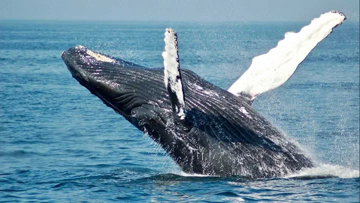
Working safely around marine mammals
Every aspect of our offshore wind farm development, from surveys, to construction, to operations, is regulated by local, state, and federal agencies. Ørsted works closely with environmental and regulatory agencies to ensure we meet all standards for protected species. Among other mitigation activities, we:
- Comply with vessel speed restrictions to minimize the risk of interactions with marine mammals
- Comply with time of year restrictions to avoid major periods of fish spawning and marine mammal activity
- Have dedicated observers constantly monitoring for marine mammals from onboard the vessels used for offshore siting and construction
- When appropriate, pause site investigations and construction activities when marine mammals or sea turtles enter mitigation zones
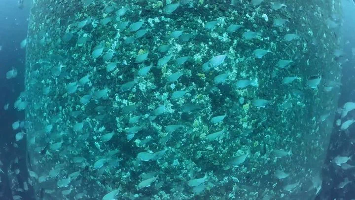
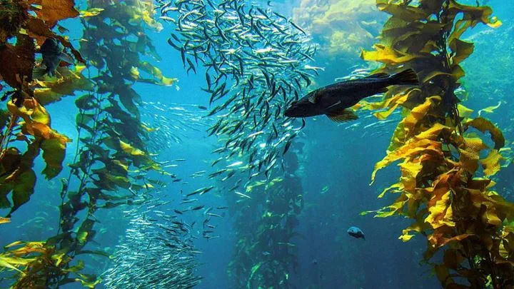
Monitoring fisheries resources and habitats
Ørsted monitors fisheries resources before, during, and after the construction of our offshore wind farms in all lease areas. We adhere to the monitoring requirements and guidance of organizations like the Bureau of Ocean Management (BOEM) and the Responsible Offshore Science Alliance (ROSA).
In addition, we work closely with local research institutions, colleges and universities, aquariums, and commercial and recreational fishers to assess fisheries resources and their habitats. Our survey methods are modeled on those used by state and federal agencies, enabling us to tailor our approach to the region and its native species.
Identifying and mitigating impacts on birds
Ørsted works to avoid and minimize any impacts on birds from our offshore wind projects, continually improving our understanding of how birds interact with offshore wind farms. Before projects begin, we complete thorough assessments to identify possible threats to local birds and develop strategies to mitigate predicted impact. We site our projects to avoid bird ‘hotspots’, implement design measures to reduce collision risks, support habitat restoration, fund innovative research, and monitor bird behavior offshore. Together with regional partners, Ørsted uses this research to fill knowledge gaps around birds and offshore wind.
Frequently asked questions (FAQ)
-
Do offshore wind farms harm whales?
-
Does noise from offshore activities bother marine life?
-
How do you protect marine mammals during siting and construction?
-
Do vessels used in offshore wind construction harm marine wildlife?
-
Does the offshore wind industry use the same survey technologies as oil and gas?


